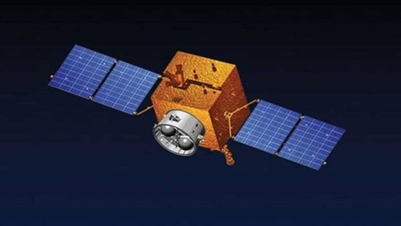
ISLAMABAD: Pakistan successfully launched a cutting-edge remote sensing satellite from China on Thursday. The Foreign Office says this is a major milestone that will greatly improve the country’s ability to manage disasters, monitor agriculture, and protect the environment.
The satellite was launched from China’s Xichang Satellite Launch Center (XSLC), which is another step forward in the long-standing space cooperation between the two allied countries.
SUPARCO Satellite to Boost Disaster Response
Pakistan’s national space agency, the Space and Upper Atmosphere Research Commission (SUPARCO), worked with Chinese partners to launch the rocket. The goal of this new satellite is to be a key part of a system for observing the Earth as a whole.
The Foreign Office said in a statement that the satellite will take high-resolution pictures all the time.
The ministry said:
In a major milestone for space exploration and technological progress, Pakistan today successfully launched its Remote Sensing Satellite from the Xichang Satellite Launch Centre (XSLC) in China.
This advanced feature will help the country reach many of its development goals. Important uses are:
Disaster Management:
Getting information to people quickly so they can get ready for floods, earthquakes, and landslides.
Agriculture and Food Security:
Helping with precision farming, keeping an eye on the health of crops, and managing water resources.
Urban Planning:
Keeping an eye on the growth of infrastructure and the spread of cities to improve planning in the area.
Environmental Protection:
Keeping an eye on deforestation and how climate change affects the world.
National Development:
Helping big projects like the China-Pakistan Economic Corridor (CPEC) by mapping out transportation networks and finding possible geological risks.
Making the relationship between Pakistan and China Much stronger
Pakistani officials praised the successful launch as proof of the strong strategic partnership with China.
Planning Minister Ahsan Iqbal thanked Beijing for its help and congratulated the country and the teams that worked on the project.
Iqbal said:
We are deeply grateful to China for its unwavering support and cooperation in this project. We are committed to restoring Pakistan’s leadership in space technology.
The Foreign Office also said that this success shows that Pakistan is still a strong player in the global space community.
The statement ended with:
With this latest success, Pakistan reaffirms its position among the community of space-faring nations, leveraging innovation to pursue a more secure, sustainable, and prosperous future.


